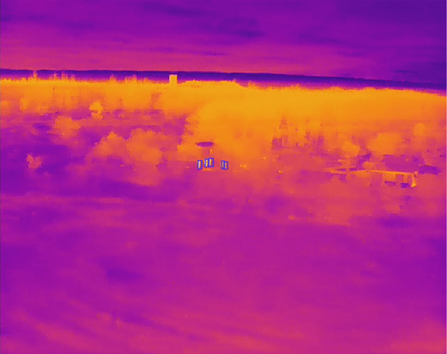
A significant development in the field of computer vision has emerged with the release of an extensive dataset comprising half a million hours of drone footage from the Ukraine conflict. This unprecedented collection of aerial imagery is now accessible for training artificial intelligence models, presenting a unique opportunity for data scientists and engineers to enhance object detection, tracking, and classification capabilities. The sheer scale of this dataset allows for the development of more sophisticated and robust AI systems, potentially leading to breakthroughs in applications such as surveillance, reconnaissance, and autonomous vehicles. From a technical standpoint, the integration of this dataset into existing architectures will require careful consideration of data preprocessing, storage solutions, and distributed computing strategies to handle the enormous volume of footage. Furthermore, engineers will need to weigh the trade-offs between model complexity, training time, and accuracy when designing their AI pipelines. The availability of this dataset is expected to drive innovation in the field, enabling researchers to explore new frontiers in aerial image analysis and push the boundaries of what is possible with AI-powered computer vision.
Source: Reddit Tech